
Thank you for supporting this site ❤️
Make a donation
Make a donation
CP03 topographic map
Click on the map to display elevation.
Thank you for supporting this site ❤️
Make a donation
Make a donation
About this map
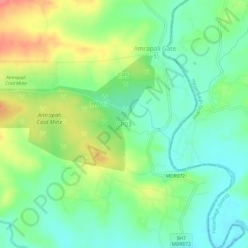
Name: CP03 topographic map, elevation, terrain.
Location: CP03, Tandwa, Chatra District, Jharkhand, 825321, India (23.86646 84.99376 23.90646 85.03376)
Average elevation: 469 m
Minimum elevation: 443 m
Maximum elevation: 512 m
Thank you for supporting this site ❤️
Make a donation
Make a donation