Geolocate

Stryn topographic map

Interactive map

Click on the map to display elevation.

About this map

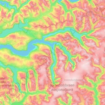
Name: Stryn topographic map, elevation, terrain.

Location: Stryn, Vestland, Norway (61.60948 6.25665 62.03409 7.41412)

Average elevation: 882 m

Minimum elevation: 0 m

Maximum elevation: 2,043 m

Other topographic maps

Click on a map to view its topography, its elevation and its terrain.

Vinnes

Norway > Vestland

Vinnes, Bjørnafjorden, Vestland, 5641, Norway

Average elevation: 39 m

Vik

Norway > Vestland

Vik, Vestland, Norway

Average elevation: 739 m

Odda

Norway > Vestland > Odda

Odda, Ullensvang, Vestland, 5750, Norway

Average elevation: 761 m

Sogndal

Norway > Vestland

Sogndal, Vestland, Norway

Average elevation: 725 m

Etne

Norway > Vestland

Etne, Vestland, Norway

Average elevation: 703 m

Kvinnherad

Norway > Vestland

Kvinnherad, Vestland, Norway

Average elevation: 465 m