
Bongsanglay Natural Park topographic map
Interactive map
Click on the map to display elevation.
About this map
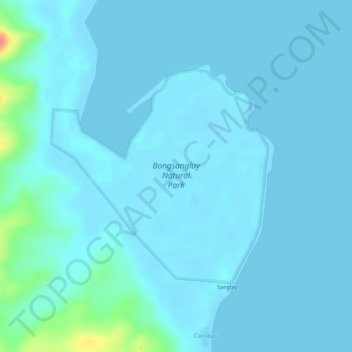
Name: Bongsanglay Natural Park topographic map, elevation, terrain.
Location: Bongsanglay Natural Park, Masbate, Bicol Region, Philippines (12.36027 123.78296 12.37674 123.80009)
Average elevation: 6 m
Minimum elevation: -1 m
Maximum elevation: 59 m
Other topographic maps
Click on a map to view its topography, its elevation and its terrain.