
Thank you for supporting this site ❤️
Make a donation
Make a donation
Managanaga topographic map
Click on the map to display elevation.
Thank you for supporting this site ❤️
Make a donation
Make a donation
About this map
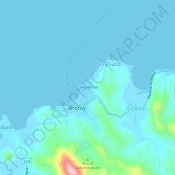
Name: Managanaga topographic map, elevation, terrain.
Location: Managanaga, Aroroy, Masbate, Bicol Region, Philippines (12.49646 123.38003 12.53646 123.42003)
Average elevation: 20 m
Minimum elevation: 0 m
Maximum elevation: 232 m
Thank you for supporting this site ❤️
Make a donation
Make a donation