
Thank you for supporting this site ❤️
Make a donation
Make a donation
Tioga topographic map
Click on the map to display elevation.
Thank you for supporting this site ❤️
Make a donation
Make a donation
About this map
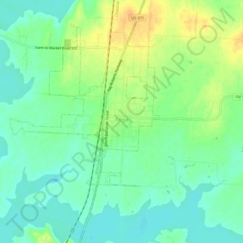
Name: Tioga topographic map, elevation, terrain.
Location: Tioga, Grayson County, Texas, United States (33.44499 -96.93986 33.48982 -96.90688)
Average elevation: 201 m
Minimum elevation: 188 m
Maximum elevation: 221 m
Thank you for supporting this site ❤️
Make a donation
Make a donation
Other topographic maps
Click on a map to view its topography, its elevation and its terrain.