
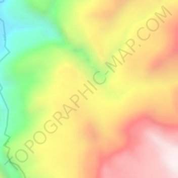
Alo topographic map
Interactive map
Click on the map to display elevation.
About this map
Name: Alo topographic map, elevation, terrain.
Location: Alo, South Wollo, Amhara Region, Ethiopia (10.30667 39.17333 10.32667 39.19333)
Average elevation: 2,266 m
Minimum elevation: 1,823 m
Maximum elevation: 2,606 m
Other topographic maps
Click on a map to view its topography, its elevation and its terrain.
North Gondar
North Gondar, Amhara Region, 6200, Ethiopia
Average elevation: 1,440 m
Ankober
Ankober, North Shewa (Amhara Region), Amhara Region, Ethiopia
Average elevation: 2,672 m
Blue Nile
Blue Nile, South Gonder, Amhara Region, Ethiopia
Average elevation: 1,649 m