
Almer topographic map
Interactive map
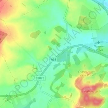
Click on the map to display elevation.
About this map
Name: Almer topographic map, elevation, terrain.
Average elevation: 51 m
Minimum elevation: 23 m
Maximum elevation: 96 m
Other topographic maps
Click on a map to view its topography, its elevation and its terrain.
Wareham
Reino Unido > Inglaterra > Dorset
Wareham, Dorset, Inglaterra, BH20 4HU, Reino Unido
Average elevation: 16 m