
Ân Thi topographic map
Interactive map
Click on the map to display elevation.
About this map
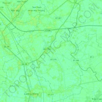
Name: Ân Thi topographic map, elevation, terrain.
Location: Ân Thi, Hưng Yên, Vietnam (20.72764 106.03351 20.89785 106.15319)
Average elevation: 4 m
Minimum elevation: -1 m
Maximum elevation: 7 m
Other topographic maps
Click on a map to view its topography, its elevation and its terrain.