
Hưng Yên topographic map
Interactive map
Click on the map to display elevation.
About this map
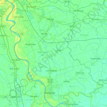
Name: Hưng Yên topographic map, elevation, terrain.
Location: Hưng Yên, Vietnam (20.60310 105.89532 21.00721 106.26953)
Average elevation: 5 m
Minimum elevation: -1 m
Maximum elevation: 136 m
Other topographic maps
Click on a map to view its topography, its elevation and its terrain.