
Agay topographic map
Interactive map
Click on the map to display elevation.
About this map
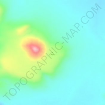
Name: Agay topographic map, elevation, terrain.
Location: Agay, West-Ennedi, Tschad (17.64076 21.66293 17.64086 21.66303)
Average elevation: 718 m
Minimum elevation: 672 m
Maximum elevation: 854 m
Other topographic maps
Click on a map to view its topography, its elevation and its terrain.