
West-Ennedi topographic map
Interactive map
Click on the map to display elevation.
About this map
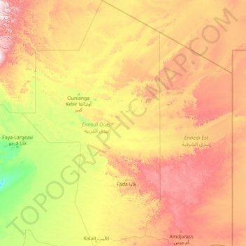
Name: West-Ennedi topographic map, elevation, terrain.
Location: West-Ennedi, Tschad (15.74400 19.19121 21.06791 22.35016)
Average elevation: 610 m
Minimum elevation: 180 m
Maximum elevation: 1,808 m
Other topographic maps
Click on a map to view its topography, its elevation and its terrain.