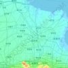
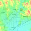
Gudi topographic map
Click on the map to display elevation.
About this map

Name: Gudi topographic map, elevation, terrain.
Location: Gudi, Shandong, China (36.81248 119.13211 36.89248 119.21211)
Average elevation: 10 m
Minimum elevation: 3 m
Maximum elevation: 17 m
Other topographic maps
Click on a map to view its topography, its elevation and its terrain.
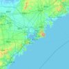
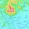
Qingdao
Qingdao is located on the south-facing coast of the Shandong Peninsula (German: Schantung-Halbinsel). It borders three prefecture-level cities, namely Yantai to the northeast, Weifang to the west, and Rizhao to the southwest. The city occupies an area totaling 10,654 km2 (4,114 sq mi), and stretches in…
Average elevation: 41 m



Jinan
Due to the mountains to the south of the city, temperature inversions are common, occurring on about 200 days per year. The high precipitation for northern Chinese standards, in tandem with the topography (mountains surrounding the city on three sides), leads to particularly oppressive summer weather and the…
Average elevation: 112 m

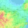
Jinan
Due to the mountains to the south of the city, temperature inversions are common, occurring on about 200 days per year. The high precipitation for northern Chinese standards, in tandem with the topography (mountains surrounding the city on three sides), leads to particularly oppressive summer weather and the…
Average elevation: 112 m


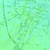

Qingdao
Qingdao is located on the south-facing coast of the Shandong Peninsula (German: Schantung-Halbinsel). It borders three prefecture-level cities, namely Yantai to the northeast, Weifang to the west, and Rizhao to the southwest. The city occupies an area totaling 10,654 km2 (4,114 sq mi), and stretches in…
Average elevation: 41 m


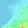


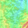
Tengzhou City
Tengzhou is Located on the Huanghuai Plain, it borders the Taiyi Mountain to the east and Weishan Lake to the west, and has a minimum elevation of 33.5 metres (110 ft), and a maximum elevation of 596.6 metres (1,957 ft).
Average elevation: 88 m
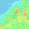


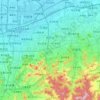

Qingdao
Qingdao is located on the south-facing coast of the Shandong Peninsula (German: Schantung Halbinsel). It borders three prefecture-level cities, namely Yantai to the northeast, Weifang to the west, and Rizhao to the southwest. The city occupies an area totaling 10,654 km2 (4,114 sq mi), and stretches in…
Average elevation: 41 m
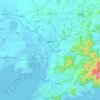
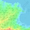


Jinan
Due to the mountains to the south of the city, temperature inversions are common, occurring on about 200 days per year. The high precipitation for northern Chinese standards, in tandem with the topography (mountains surrounding the city on three sides), leads to particularly oppressive summer weather and the…
Average elevation: 112 m
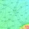

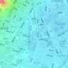
Laoshan District
The district belongs to north temperature zone, with a monsoon-influenced temperate climate. There is neither intense heat in summer nor severe cold in winter. Most of the district is highland with the average altitude of 55m and surface water of 3m. There is abundant high quality ground water. In fact,…
Average elevation: 23 m

Laoshan District
The district belongs to north temperature zone, with a monsoon-influenced temperate climate. There is neither intense heat in summer nor severe cold in winter. Most of the district is highland with the average altitude of 55m and surface water of 3m. There is abundant high quality ground water. In fact,…
Average elevation: 23 m




Qingdao
Qingdao is located on the south-facing coast of the Shandong Peninsula (German: Schantung Halbinsel). It borders three prefecture-level cities, namely Yantai to the northeast, Weifang to the west, and Rizhao to the southwest. The city occupies an area totaling 10,654 km2 (4,114 sq mi), and stretches in…
Average elevation: 37 m
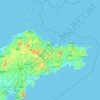
Penglai District
The production of wine is the second largest industry in the province. Agriculture is first. However, in Penglai, tourism is the primary industry, and wine-making is second. The hills south of Penglai have an average elevation of 200 metres (660 ft), while the coastal areas are relatively flat. Most of the…
Average elevation: 20 m