
Pleša topographic map
Interactive map
Click on the map to display elevation.
About this map
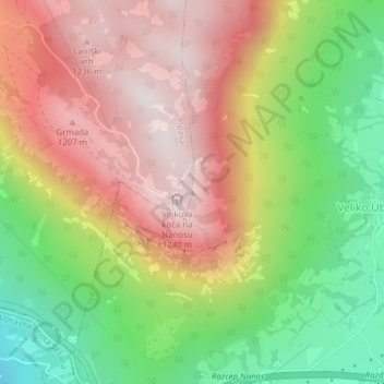
Name: Pleša topographic map, elevation, terrain.
Location: Pleša, Adelsberg, 6225, Slowenien (45.77255 14.05460 45.77265 14.05470)
Average elevation: 867 m
Minimum elevation: 431 m
Maximum elevation: 1,273 m
Other topographic maps
Click on a map to view its topography, its elevation and its terrain.