
Strmca topographic map
Interactive map
Click on the map to display elevation.
About this map
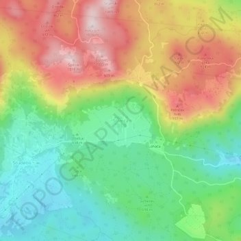
Name: Strmca topographic map, elevation, terrain.
Location: Strmca, Adelsberg, 6230, Slowenien (45.81152 14.17999 45.85152 14.21999)
Average elevation: 739 m
Minimum elevation: 541 m
Maximum elevation: 1,006 m
Other topographic maps
Click on a map to view its topography, its elevation and its terrain.