
Saint Hedwig topographic map
Click on the map to display elevation.
About this map
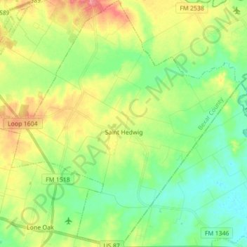
Name: Saint Hedwig topographic map, elevation, terrain.
Location: Saint Hedwig, Bexar County, Texas, 78152, United States (29.35815 -98.27311 29.47882 -98.13511)
Average elevation: 173 m
Minimum elevation: 145 m
Maximum elevation: 220 m
Other topographic maps
Click on a map to view its topography, its elevation and its terrain.