
Thank you for supporting this site ❤️
Make a donation
Make a donation
Summerfield Township topographic map
Click on the map to display elevation.
Thank you for supporting this site ❤️
Make a donation
Make a donation
About this map
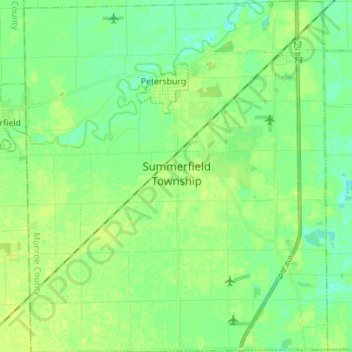
Name: Summerfield Township topographic map, elevation, terrain.
Average elevation: 206 m
Minimum elevation: 199 m
Maximum elevation: 213 m
Thank you for supporting this site ❤️
Make a donation
Make a donation
Other topographic maps
Click on a map to view its topography, its elevation and its terrain.
Golfcrest
United States > Michigan > Monroe County > Frenchtown Charter Township
Average elevation: 181 m
River Raisin
United States > Michigan > Monroe County > Raisinville Township > Grape
Average elevation: 192 m
Thank you for supporting this site ❤️
Make a donation
Make a donation