
Thank you for supporting this site ❤️
Make a donation
Make a donation
Emlichheim topographic map
Click on the map to display elevation.
Thank you for supporting this site ❤️
Make a donation
Make a donation
About this map
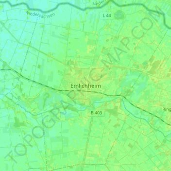
Name: Emlichheim topographic map, elevation, terrain.
Average elevation: 14 m
Minimum elevation: 8 m
Maximum elevation: 20 m
Thank you for supporting this site ❤️
Make a donation
Make a donation
Other topographic maps
Click on a map to view its topography, its elevation and its terrain.
Getelomoor
Duitsland > Nedersaksen > Landkreis Grafschaft Bentheim > Getelo > Getelomoor
Average elevation: 23 m
Hesingen
Duitsland > Nedersaksen > Landkreis Grafschaft Bentheim > Halle > Hesingen
Average elevation: 60 m
Thank you for supporting this site ❤️
Make a donation
Make a donation