
Bramberg topographic map
Interactive map
Click on the map to display elevation.
About this map
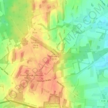
Name: Bramberg topographic map, elevation, terrain.
Average elevation: 65 m
Minimum elevation: 37 m
Maximum elevation: 89 m
Other topographic maps
Click on a map to view its topography, its elevation and its terrain.
Hesingen
Duitsland > Nedersaksen > Landkreis Grafschaft Bentheim > Halle > Hesingen
Hesingen, Halle, Samtgemeinde Uelsen, Landkreis Grafschaft Bentheim, Nedersaksen, 49843, Duitsland
Average elevation: 60 m