
Nordseter topographic map
Interactive map
Click on the map to display elevation.
About this map
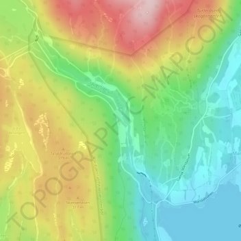
Name: Nordseter topographic map, elevation, terrain.
Location: Nordseter, Marka, Oslo, 0890, Noorwegen (59.99320 10.73394 60.01320 10.75394)
Average elevation: 253 m
Minimum elevation: 148 m
Maximum elevation: 397 m
Other topographic maps
Click on a map to view its topography, its elevation and its terrain.