
Heggehullet topographic map
Interactive map
Click on the map to display elevation.
About this map
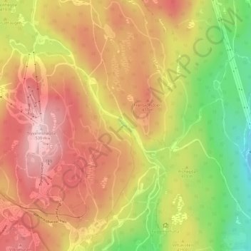
Name: Heggehullet topographic map, elevation, terrain.
Location: Heggehullet, Marka, Oslo, 0791, Noorwegen (59.97895 10.67673 59.99895 10.69673)
Average elevation: 417 m
Minimum elevation: 252 m
Maximum elevation: 533 m
Other topographic maps
Click on a map to view its topography, its elevation and its terrain.