
Thank you for supporting this site ❤️
Make a donation
Make a donation
Brazos River topographic map
Click on the map to display elevation.
Thank you for supporting this site ❤️
Make a donation
Make a donation
About this map
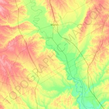
Name: Brazos River topographic map, elevation, terrain.
Location: Brazos River, Falls County, Texas, 76685, USA (30.92500 -97.01972 31.41991 -96.74354)
Average elevation: 127 m
Minimum elevation: 79 m
Maximum elevation: 194 m
Thank you for supporting this site ❤️
Make a donation
Make a donation
Other topographic maps
Click on a map to view its topography, its elevation and its terrain.