
Trarego topographic map
Interactive map
Click on the map to display elevation.
About this map
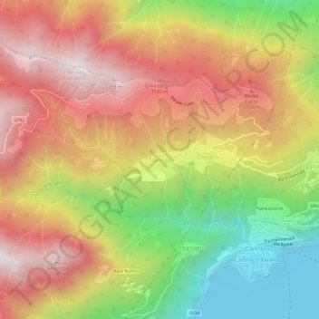
Name: Trarego topographic map, elevation, terrain.
Location: Trarego, Verbano-Cusio-Ossola, Piemont, 28826, Italien (46.01376 8.64381 46.05376 8.68381)
Average elevation: 791 m
Minimum elevation: 185 m
Maximum elevation: 1,315 m
Other topographic maps
Click on a map to view its topography, its elevation and its terrain.