
Trarego topographic map
Interactive map
Click on the map to display elevation.
About this map
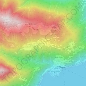
Name: Trarego topographic map, elevation, terrain.
Location: Trarego, VB, Piemont, 28821, Italien (46.01448 8.65314 46.05448 8.69314)
Average elevation: 694 m
Minimum elevation: 185 m
Maximum elevation: 1,308 m
Other topographic maps
Click on a map to view its topography, its elevation and its terrain.