
Zederhaus topographic map
Interactive map
Click on the map to display elevation.
About this map
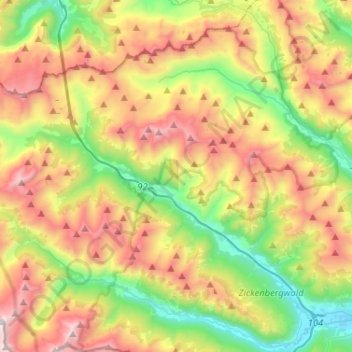
Name: Zederhaus topographic map, elevation, terrain.
Location: Zederhaus, Bezirk Tamsweg, Salzburg, 5584, Österreich (47.11018 13.31780 47.22109 13.57598)
Average elevation: 1,822 m
Minimum elevation: 1,045 m
Maximum elevation: 2,894 m
Other topographic maps
Click on a map to view its topography, its elevation and its terrain.
Schieferalm
Österreich > Salzburg > Bezirk Tamsweg > Zederhaus
Schieferalm, Zederhaus, Bezirk Tamsweg, Salzburg, 5584, Österreich
Average elevation: 1,626 m