
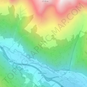
Schieferalm topographic map
Interactive map
Click on the map to display elevation.
About this map
Name: Schieferalm topographic map, elevation, terrain.
Average elevation: 1,626 m
Minimum elevation: 1,201 m
Maximum elevation: 2,458 m
Other topographic maps
Click on a map to view its topography, its elevation and its terrain.
Zederhaus
Österreich > Salzburg > Bezirk Tamsweg > Zederhaus
Zederhaus, Bezirk Tamsweg, Salzburg, 5584, Österreich
Average elevation: 1,822 m