
Babelsberg Süd topographic map
Interactive map
Click on the map to display elevation.
About this map
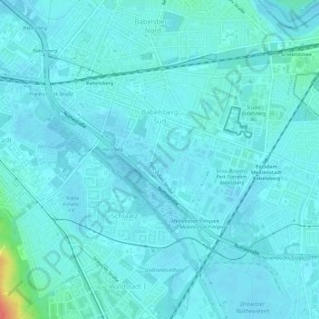
Name: Babelsberg Süd topographic map, elevation, terrain.
Average elevation: 37 m
Minimum elevation: 31 m
Maximum elevation: 85 m
Other topographic maps
Click on a map to view its topography, its elevation and its terrain.
Fahrland
Allemagne > Brandebourg > Potsdam
Fahrland, Potsdam, Brandebourg, 14476, Allemagne
Average elevation: 37 m