
Nelsonville topographic map
Click on the map to display elevation.
About this map
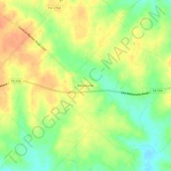
Name: Nelsonville topographic map, elevation, terrain.
Location: Nelsonville, Austin County, Texas, United States (29.95661 -96.42330 29.99661 -96.38330)
Average elevation: 87 m
Minimum elevation: 64 m
Maximum elevation: 106 m
Other topographic maps
Click on a map to view its topography, its elevation and its terrain.
Stephen F. Austin State Park
United States > Texas > Austin County > San Felipe
Average elevation: 41 m