
Staples topographic map
Click on the map to display elevation.
About this map
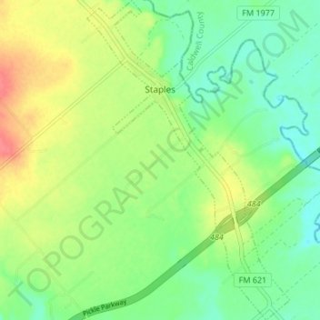
Name: Staples topographic map, elevation, terrain.
Location: Staples, Guadalupe County, Texas, United States (29.73934 -97.85186 29.79766 -97.80920)
Average elevation: 158 m
Minimum elevation: 134 m
Maximum elevation: 194 m
Other topographic maps
Click on a map to view its topography, its elevation and its terrain.