
Thank you for supporting this site ❤️
Make a donation
Make a donation
Guanxian County topographic map
Click on the map to display elevation.
Thank you for supporting this site ❤️
Make a donation
Make a donation
About this map
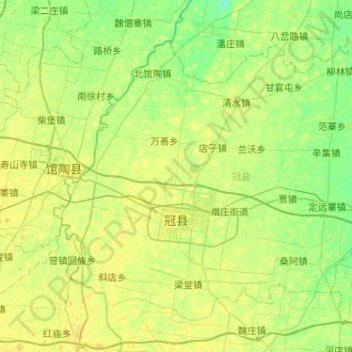
Name: Guanxian County topographic map, elevation, terrain.
Location: Guanxian County, Liaocheng, Shandong, 252500, China (36.36459 115.26564 36.70266 115.77922)
Average elevation: 41 m
Minimum elevation: 33 m
Maximum elevation: 48 m
Thank you for supporting this site ❤️
Make a donation
Make a donation
Other topographic maps
Click on a map to view its topography, its elevation and its terrain.