
Santa Fe topographic map
Interactive map
Click on the map to display elevation.
About this map
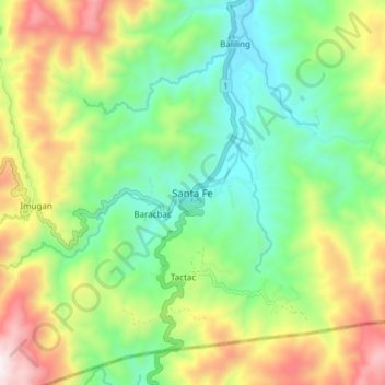
Name: Santa Fe topographic map, elevation, terrain.
Location: Santa Fe, Nueva Vizcaya, Cagayan Valley, 3705, Philippines (16.11903 120.89817 16.19903 120.97817)
Average elevation: 872 m
Minimum elevation: 493 m
Maximum elevation: 1,516 m
Other topographic maps
Click on a map to view its topography, its elevation and its terrain.