
Thank you for supporting this site ❤️
Make a donation
Make a donation
Roswinkel topographic map
Click on the map to display elevation.
Thank you for supporting this site ❤️
Make a donation
Make a donation
About this map
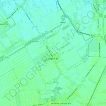
Name: Roswinkel topographic map, elevation, terrain.
Location: Roswinkel, Emmen, Drenthe, Nederland (52.81653 6.97522 52.86470 7.07639)
Average elevation: 13 m
Minimum elevation: 9 m
Maximum elevation: 18 m
Thank you for supporting this site ❤️
Make a donation
Make a donation
Other topographic maps
Click on a map to view its topography, its elevation and its terrain.
Thank you for supporting this site ❤️
Make a donation
Make a donation
Thank you for supporting this site ❤️
Make a donation
Make a donation