
Thank you for supporting this site ❤️
Make a donation
Make a donation
Alteveer topographic map
Click on the map to display elevation.
Thank you for supporting this site ❤️
Make a donation
Make a donation
About this map
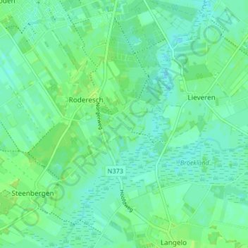
Name: Alteveer topographic map, elevation, terrain.
Location: Alteveer, Noordenveld, Drenthe, Nederland, 9306 TD, Nederland (53.09093 6.41305 53.13093 6.45305)
Average elevation: 5 m
Minimum elevation: 0 m
Maximum elevation: 11 m
Thank you for supporting this site ❤️
Make a donation
Make a donation