
Gumaod topographic map
Click on the map to display elevation.
About this map
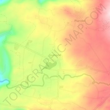
Name: Gumaod topographic map, elevation, terrain.
Location: Gumaod, Misamis Oriental, Northern Mindanao, Philippines (8.63571 124.78915 8.67571 124.82915)
Average elevation: 385 m
Minimum elevation: 206 m
Maximum elevation: 513 m
Other topographic maps
Click on a map to view its topography, its elevation and its terrain.
Cagayan de Oro River
Philippines > Misamis Oriental > Cagayan De Oro > Balulang
Average elevation: 98 m