
Thank you for supporting this site ❤️
Make a donation
Make a donation
Venus topographic map
Click on the map to display elevation.
Thank you for supporting this site ❤️
Make a donation
Make a donation
About this map
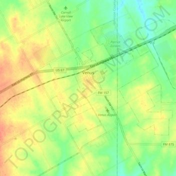
Name: Venus topographic map, elevation, terrain.
Location: Venus, Johnson County, Texas, 76084, United States (32.38686 -97.15672 32.46605 -97.06967)
Average elevation: 200 m
Minimum elevation: 177 m
Maximum elevation: 223 m
Thank you for supporting this site ❤️
Make a donation
Make a donation
Other topographic maps
Click on a map to view its topography, its elevation and its terrain.