
Bousval topographic map
Interactive map
Click on the map to display elevation.
About this map
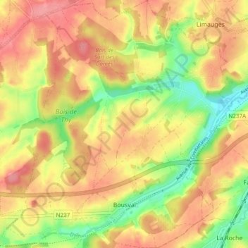
Name: Bousval topographic map, elevation, terrain.
Location: Bousval, Genepiën, Nijvel, Waals-Brabant, Wallonië, 1470, België (50.60805 4.48937 50.65595 4.54157)
Average elevation: 109 m
Minimum elevation: 61 m
Maximum elevation: 146 m
Other topographic maps
Click on a map to view its topography, its elevation and its terrain.
Houtain-le-Val
Houtain-le-Val, Genepiën, Waals-Brabant, Wallonië, 1476, België
Average elevation: 150 m