Geolocate

Houtain-le-Val topographic map

Interactive map

Click on the map to display elevation.

About this map

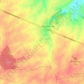
Name: Houtain-le-Val topographic map, elevation, terrain.

Location: Houtain-le-Val, Genepiën, Waals-Brabant, Wallonië, 1476, België (50.55845 4.37810 50.59360 4.44032)

Average elevation: 150 m

Minimum elevation: 108 m

Maximum elevation: 171 m

Other topographic maps

Click on a map to view its topography, its elevation and its terrain.

Bousval

België > Wallonië > Genepiën

Bousval, Genepiën, Nijvel, Waals-Brabant, Wallonië, 1470, België

Average elevation: 109 m

Ways

België > Wallonië > Genepiën

Ways, Genepiën, Nijvel, Waals-Brabant, Wallonië, 1474, België

Average elevation: 121 m

Baisy-Thy

België > Wallonië > Genepiën

Baisy-Thy, Genepiën, Nijvel, Waals-Brabant, Wallonië, 1470, België

Average elevation: 127 m

Loupoigne

België > Wallonië > Genepiën

Loupoigne, Genepiën, Nijvel, Waals-Brabant, Wallonië, 1471, België

Average elevation: 133 m