
Thank you for supporting this site ❤️
Make a donation
Make a donation
Buhay na Sapa topographic map
Click on the map to display elevation.
Thank you for supporting this site ❤️
Make a donation
Make a donation
About this map
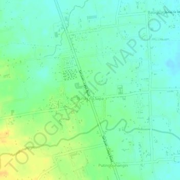
Name: Buhay na Sapa topographic map, elevation, terrain.
Location: Buhay na Sapa, San Juan, Batangas, Calabarzon, Philippines (13.78195 121.39202 13.80145 121.41710)
Average elevation: 18 m
Minimum elevation: 6 m
Maximum elevation: 35 m
Thank you for supporting this site ❤️
Make a donation
Make a donation
Other topographic maps
Click on a map to view its topography, its elevation and its terrain.