
Thank you for supporting this site ❤️
Make a donation
Make a donation
Brandon topographic map
Click on the map to display elevation.
Thank you for supporting this site ❤️
Make a donation
Make a donation
About this map
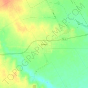
Name: Brandon topographic map, elevation, terrain.
Location: Brandon, Hill County, Texas, 76628, United States (32.02405 -96.98444 32.06405 -96.94444)
Average elevation: 188 m
Minimum elevation: 167 m
Maximum elevation: 209 m
Thank you for supporting this site ❤️
Make a donation
Make a donation
Other topographic maps
Click on a map to view its topography, its elevation and its terrain.
Thank you for supporting this site ❤️
Make a donation
Make a donation
Thank you for supporting this site ❤️
Make a donation
Make a donation