
Thank you for supporting this site ❤️
Make a donation
Make a donation
Lake Amistad topographic map
Click on the map to display elevation.
Thank you for supporting this site ❤️
Make a donation
Make a donation
About this map
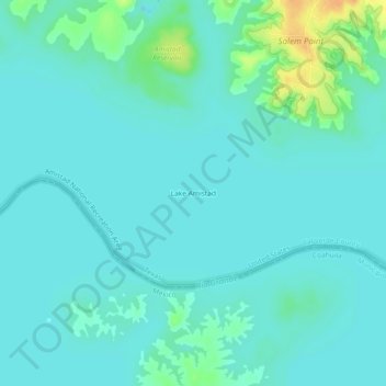
Name: Lake Amistad topographic map, elevation, terrain.
Location: Lake Amistad, Val Verde County, Texas, United States (29.45787 -101.13197 29.49787 -101.09197)
Average elevation: 335 m
Minimum elevation: 328 m
Maximum elevation: 362 m
Thank you for supporting this site ❤️
Make a donation
Make a donation
Other topographic maps
Click on a map to view its topography, its elevation and its terrain.