
Thank you for supporting this site ❤️
Make a donation
Make a donation
Gunter topographic map
Click on the map to display elevation.
Thank you for supporting this site ❤️
Make a donation
Make a donation
About this map
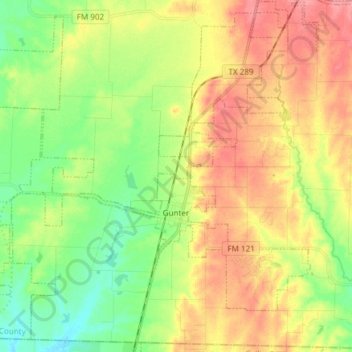
Name: Gunter topographic map, elevation, terrain.
Location: Gunter, Grayson County, Texas, United States (33.40467 -96.83732 33.52113 -96.68721)
Average elevation: 226 m
Minimum elevation: 190 m
Maximum elevation: 265 m
Thank you for supporting this site ❤️
Make a donation
Make a donation
Other topographic maps
Click on a map to view its topography, its elevation and its terrain.