
Walem topographic map
Interactive map
Click on the map to display elevation.
About this map
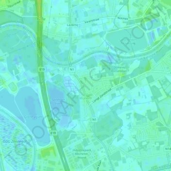
Name: Walem topographic map, elevation, terrain.
Location: Walem, Mechelen, Antwerpen, België (51.05738 4.41966 51.07858 4.46731)
Average elevation: 3 m
Minimum elevation: -3 m
Maximum elevation: 11 m
Other topographic maps
Click on a map to view its topography, its elevation and its terrain.
Tivolipark
België > Antwerpen > Mechelen > Mechelen
Tivolipark, Mechelen, Antwerpen, Vlaanderen, 2800, België
Average elevation: 5 m