
Manitock Spring topographic map
Click on the map to display elevation.
About this map
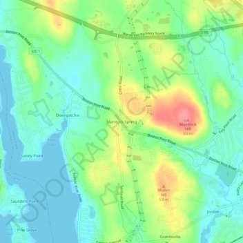
Name: Manitock Spring topographic map, elevation, terrain.
Average elevation: 26 m
Minimum elevation: -1 m
Maximum elevation: 77 m
Other topographic maps
Click on a map to view its topography, its elevation and its terrain.
Harkness Memorial State Park
United States > Connecticut > Southeastern Connecticut Planning Region > Waterford
Average elevation: 12 m
Thames River
United States > Connecticut > Southeastern Connecticut Planning Region > Waterford
Average elevation: 52 m