
Paligui topographic map
Click on the map to display elevation.
About this map
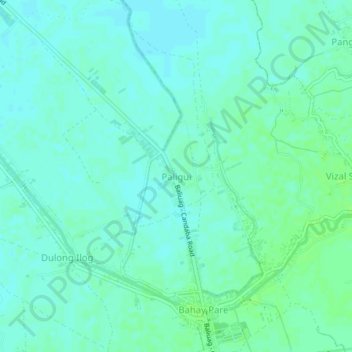
Name: Paligui topographic map, elevation, terrain.
Location: Paligui, Candaba, Pampanga, Central Luzon, 2013, Philippines (15.02674 120.85828 15.06674 120.89828)
Average elevation: 9 m
Minimum elevation: 5 m
Maximum elevation: 14 m
Other topographic maps
Click on a map to view its topography, its elevation and its terrain.