
Thank you for supporting this site ❤️
Make a donation
Make a donation
Salapungan topographic map
Click on the map to display elevation.
Thank you for supporting this site ❤️
Make a donation
Make a donation
About this map
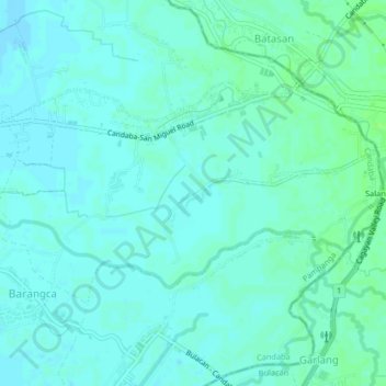
Name: Salapungan topographic map, elevation, terrain.
Location: Salapungan, Candaba, Pampanga, Central Luzon, Philippines (15.11670 120.91161 15.13946 120.95257)
Average elevation: 11 m
Minimum elevation: 8 m
Maximum elevation: 16 m
Thank you for supporting this site ❤️
Make a donation
Make a donation
Other topographic maps
Click on a map to view its topography, its elevation and its terrain.
Thank you for supporting this site ❤️
Make a donation
Make a donation
Thank you for supporting this site ❤️
Make a donation
Make a donation