
Thank you for supporting this site ❤️
Make a donation
Make a donation
South Charleston topographic map
Click on the map to display elevation.
Thank you for supporting this site ❤️
Make a donation
Make a donation
About this map
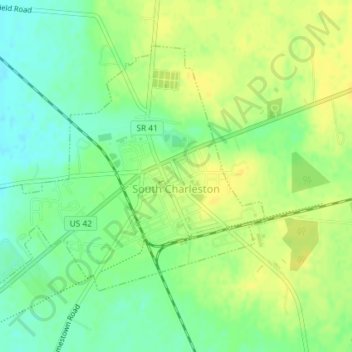
Name: South Charleston topographic map, elevation, terrain.
Location: South Charleston, Clark County, Ohio, United States (39.81592 -83.66144 39.83670 -83.62511)
Average elevation: 342 m
Minimum elevation: 329 m
Maximum elevation: 352 m
Thank you for supporting this site ❤️
Make a donation
Make a donation
Other topographic maps
Click on a map to view its topography, its elevation and its terrain.