
Thank you for supporting this site ❤️
Make a donation
Make a donation
Port Aransas topographic map
Click on the map to display elevation.
Thank you for supporting this site ❤️
Make a donation
Make a donation
About this map
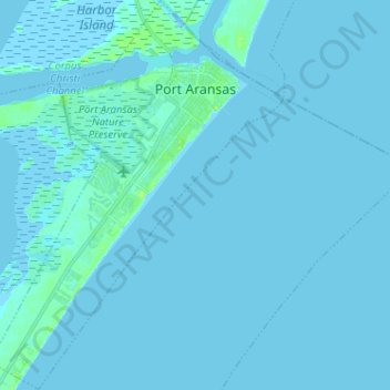
Name: Port Aransas topographic map, elevation, terrain.
Location: Port Aransas, Nueces County, Texas, 78373, United States (27.74601 -97.12927 27.85899 -97.03290)
Average elevation: 1 m
Minimum elevation: -1 m
Maximum elevation: 15 m
Thank you for supporting this site ❤️
Make a donation
Make a donation
Other topographic maps
Click on a map to view its topography, its elevation and its terrain.