
Bluff City topographic map
Interactive map
Click on the map to display elevation.
About this map
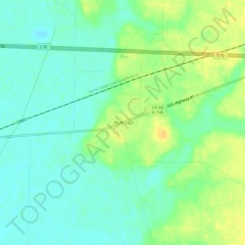
Name: Bluff City topographic map, elevation, terrain.
Location: Bluff City, Fayette County, Illinois, United States (38.94393 -89.06645 38.98393 -89.02645)
Average elevation: 151 m
Minimum elevation: 139 m
Maximum elevation: 168 m
Other topographic maps
Click on a map to view its topography, its elevation and its terrain.
Brownstown
United States > Illinois > Fayette County
Brownstown, Fayette County, Illinois, 62418, United States
Average elevation: 178 m