
Thank you for supporting this site ❤️
Make a donation
Make a donation
Brownstown topographic map
Click on the map to display elevation.
Thank you for supporting this site ❤️
Make a donation
Make a donation
About this map
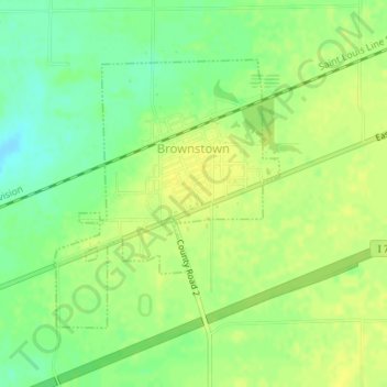
Name: Brownstown topographic map, elevation, terrain.
Location: Brownstown, Fayette County, Illinois, 62418, United States (38.98335 -88.96540 39.00209 -88.94507)
Average elevation: 178 m
Minimum elevation: 165 m
Maximum elevation: 185 m
Thank you for supporting this site ❤️
Make a donation
Make a donation
Other topographic maps
Click on a map to view its topography, its elevation and its terrain.