
Parc naturel régional Schaffhouse topographic map
Interactive map
Click on the map to display elevation.
About this map
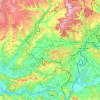
Name: Parc naturel régional Schaffhouse topographic map, elevation, terrain.
Average elevation: 525 m
Minimum elevation: 323 m
Maximum elevation: 927 m
Other topographic maps
Click on a map to view its topography, its elevation and its terrain.
Randen
Suisse > Schaffhouse > Bezirk Oberklettgau
Randen, Bezirk Oberklettgau, Schaffhouse, Suisse
Average elevation: 650 m