
Thank you for supporting this site ❤️
Make a donation
Make a donation
Quanah topographic map
Click on the map to display elevation.
Thank you for supporting this site ❤️
Make a donation
Make a donation
About this map
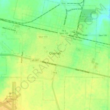
Name: Quanah topographic map, elevation, terrain.
Location: Quanah, Hardeman County, Texas, 79252, United States (34.27460 -99.76411 34.31146 -99.72219)
Average elevation: 480 m
Minimum elevation: 465 m
Maximum elevation: 490 m
Thank you for supporting this site ❤️
Make a donation
Make a donation
Other topographic maps
Click on a map to view its topography, its elevation and its terrain.